
Champaign County GIS Consortium has an excellent mapping service. Users can overlay districts, search addresses, and more.
->Click here to access the interactive mapping tool.<-
->Click here to access the interactive mapping tool.<-
USING THE GIS MAP
1. Click on Mobile Interactive AppWhen using the GIS mapping tool, you can choose what "layers" you want to view on the map.
2. Click on the Layer icon.
Image
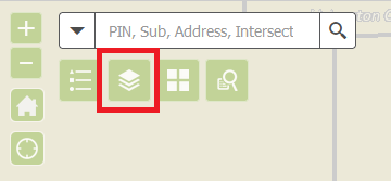
3. Scroll through the list and select the layers you want to be visible in the map.
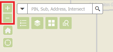
4. Use the + & - to zoom in and out on the map.
Image
5. Left click, hold it, and drag to move the map around.